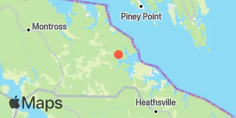
Latitude
38° 1' 54" N (38.0317)
Longitude
76° 34' 36" W (-76.5767)
State
County
Nearest ZIP
22488
Nearby
Tides
6.5 mi
Travis Point, Coan River, Potomac River
6.6 mi
Lewisetta, Potomac River
7.4 mi
Piney Point, Potomac River
7.9 mi
Ragged Point, Coles Neck, Potomac River
9.8 mi
Mount Holly, Nomini Creek, Potomac River
11.9 mi
Cornfield Harbor, Potomac River
Currents
4.8 mi
Piney Point, 2.2 miles south of
4.8 mi
Piney Point, 1.1 n.mi. south of
7.2 mi
Piney Point, 0.2 mile south of
10.6 mi
White Point, Nomini Creek entrance
11.0 mi
Point Lookout, 5.2 n.mi. SW of
11.9 mi
Point Lookout, 3.1 n.mi. SW of
12.1 mi
Cornfield Point, midchannel
12.2 mi
Cornfield Point, 3.8 miles south of
