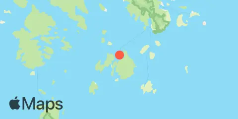
Latitude
44° 10' 12" N (44.17)
Longitude
68° 26' 6" W (-68.435)
State
County
Nearest ZIP
04685
Nearby
Tides
1.9 mi
Burnt Coat Harbor, Swans Island
6.4 mi
Bass Harbor, Mount Desert Island
9.3 mi
Oceanville, Deer Isle, Penobscot Bay
9.4 mi
Southwest Harbor, Mount Desert Island
9.9 mi
Center Harbor, Eggemoggin Reach
11.3 mi
Stonington, Deer Isle, Penobscot Bay
12.0 mi
Isle Au Haut, Penobscot Bay
Currents
2.3 mi
Casco Passage, east end, Blue Hill Bay
3.9 mi
Hat Island, SE of, Jericho Bay
8.4 mi
Clam I., NW of, Deer I. Thorofare
9.2 mi
Grog Island, E of, Deer Island Thorofare
9.5 mi
Isle au Haut, 0.8 mile E of Rich's Pt
10.5 mi
Russ Island, N of, Deer Island Thorofare
