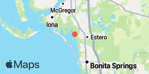
Latitude
26° 25' 48" N (26.43)
Longitude
81° 51' 24" W (-81.8567)
State
County
Nearest ZIP
33928
Nearby
Tides
2.2 mi
Coconut Point, Estero Bay
2.5 mi
Carlos Point, Estero Bay
3.0 mi
Hendry Creek, Estero Bay
3.9 mi
Estero Island, Estero Bay
5.3 mi
Little Hickory Island, Estero Bay
6.3 mi
Matanzas Pass (fixed bridge) Estero Island
9.2 mi
Iona Shores, Caloosahatchee River
10.0 mi
Wiggins Pass, Cocohatchee River
10.0 mi
Point Ybel, San Carlos Bay entrance
10.4 mi
Cape Coral Bridge, Caloosahatchee River
10.5 mi
Punta Rassa, San Carlos Bay
10.8 mi
Cocohatchee River, U.S. 41 bridge
Currents
10.2 mi
Point Ybel, 0.4 mile northwest of
