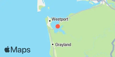
Latitude
46° 51' 42" N (46.8617)
Longitude
124° 3' 36" W (-124.06)
State
County
Nearest ZIP
98520
Nearby
Tides
3.6 mi
Westport, Point Chehalis, Grays Harbor
4.3 mi
Markham, Grays Harbor
6.9 mi
Point Brown, Grays Harbor
11.5 mi
Toke Point, Willapa Bay
12.2 mi
Aberdeen, Grays Harbor
Currents
4.3 mi
Westport, channel 0.4 mile NE of
4.8 mi
Entrance, 0.6 mile WNW of Westport
5.1 mi
Channel, 2.1 miles NNE of Westport
5.1 mi
Entrance, 1.1 miles NW of Westport
5.3 mi
Channel, 1.5 miles north of Westport
5.4 mi
Grays Harbor Entrance
5.5 mi
Entrance, Point Chehalis Range
6.6 mi
Entrance, 0.2 mile south of north jetty
