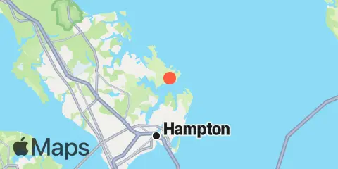
Nearby
Tides
7.3 mi
Old Point Comfort, Hampton Roads
9.5 mi
Tue Marshes Light, York River
10.1 mi
Huntington Park, James River
10.6 mi
Goodwin Neck, Yorktown, York River
11.3 mi
Newport News, James River
11.5 mi
Sewells Point, Hampton Roads
11.5 mi
Menchville, James River
12.0 mi
Yorktown USCG Training Center, York River
Currents
7.0 mi
York Spit Light, 0.8 mile southwest of
7.5 mi
0.55 n.mi. east of
7.7 mi
Thimble Shoal Channel, 2.4 n.mi east of Ft. Monroe
7.8 mi
0.2 mile south of
7.9 mi
Hampton Roads entrance, midchannel
8.1 mi
York River Ent. Channel (NW end)
8.3 mi
0.9 mile southwest of
8.7 mi
Thimble Shoal Channel (west end)
9.1 mi
Willoughby Spit, 0.8 mile northwest of
10.1 mi
Sewells Point (Naval Station Norfolk)
10.1 mi
Tue Marshes Light, 0.9 n.mi. WNW of
10.2 mi
Willoughby Bay entrance
10.3 mi
Tue Marshes Light, 0.7 n.mi. north of
10.4 mi
York River Entrance Channel (SE end)
10.6 mi
South edge of channel
11.0 mi
Norfolk Harbor Reach (Buoy R '8')
11.0 mi
Newport News Shipbuilding
11.1 mi
Midchannel
11.1 mi
Channel, middle
11.2 mi
Sewells Point, pierhead
11.2 mi
North edge of channel
11.3 mi
0.15nm WSW of Pier No.2
11.7 mi
James River Entrance
11.8 mi
Newport News Channel, west end
11.9 mi
0.8 mile SW of shipbuilding plant
12.2 mi
York Spit Channel, N of Buoy '26'
