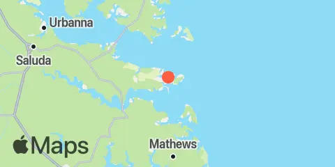
Latitude
37° 32' 54" N (37.5483)
Longitude
76° 19' 54" W (-76.3317)
State
County
Nearest ZIP
23043
Nearby
Tides
5.2 mi
Windmill Point, Rappahannock River
5.3 mi
Mill Creek (Grey Point), Rappahannock River
5.5 mi
Dixie, Piankatank River
6.2 mi
Windmill Point Light, Chesapeake Bay
11.1 mi
Belleville, Mobjack Bay
11.9 mi
Millenbeck, Corrotoman River, Rappahannock River
12.1 mi
Mobjack, East River, Mobjack Bay
Currents
2.2 mi
Bland Point, Piankatank River
3.2 mi
Stingray Point, 1.2 n.mi. NE of
3.4 mi
Mosquito Point, 0.9 mile SSE of
4.2 mi
Windmill Point, 1.0 n.mi SSW of
5.8 mi
Gwynn Island, 1.5 n.mi. east of
6.8 mi
Doctor Point, 0.4 mile west of
8.2 mi
Windmill Point Light, 2.2 n.mi. ESE of
9.0 mi
Stingray Point, 5.5 miles east of
9.0 mi
Orchard Point, 1.0 mile south of
11.1 mi
Towles Point
11.1 mi
Wolf Trap Light, 2.0 n.mi. NW of
11.4 mi
Bluff Point, 4.6 n.mi. east of
