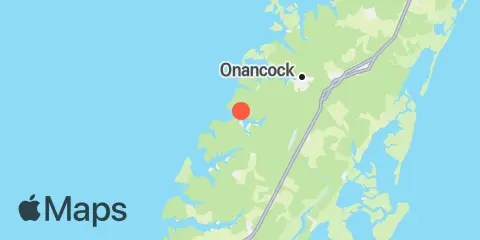
Latitude
37° 40' 0" N (37.6667)
Longitude
75° 49' 60" W (-75.8333)
State
County
Nearest ZIP
23389
Nearby
Tides
5.2 mi
Onancock, Onancock Creek, Chesapeake Bay
7.4 mi
Chesconessex Creek, Schooner Bay, Chesapeake Bay
8.9 mi
Gaskins Point, Occohannock Creek, Chesapeake Bay
9.0 mi
Wachapreague, Wachapreague Channel
9.7 mi
Watts Island, Chesapeake Bay
11.0 mi
Folly Creek, Metompkin Inlet
Currents
5.2 mi
Watts Island, 4 miles south of
7.6 mi
Pocomoke Sound Approach
8.8 mi
Watts Island, 2.3 n.mi. east of
9.6 mi
Milby Point, 5.3 n.mi. WNW of
11.0 mi
Tangier Sound Light, 0.5 n.mi. east of
11.9 mi
Tangier Sound Light, 1.5 miles NE of
