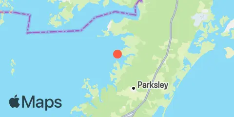
Latitude
37° 51' 0" N (37.85)
Longitude
75° 42' 0" W (-75.7)
State
County
Nearest ZIP
23308
Nearby
Tides
1.4 mi
Muddy Creek Entrance, Chesapeake Bay
5.2 mi
Saxis, Starling Creek, Pocomoke Sound, Chesapeake Bay
7.2 mi
Chesconessex Creek, Schooner Bay, Chesapeake Bay
9.1 mi
Gargathy Neck
9.6 mi
Shelltown, Pocomoke River
10.1 mi
Onancock, Onancock Creek, Chesapeake Bay
10.2 mi
Ape Hole Creek, Pocomoke Sound, Chesapeake Bay
11.2 mi
Folly Creek, Metompkin Inlet
11.3 mi
Watts Island, Chesapeake Bay
11.6 mi
Wishart Point, Bogues Bay
12.1 mi
Wallops Island
Currents
7.0 mi
Long Point, 2.0 n.mi. northeast of
8.9 mi
Pocomoke R., 0.5 mile below Shelltown
8.9 mi
Watts Island, 2.3 n.mi. east of
