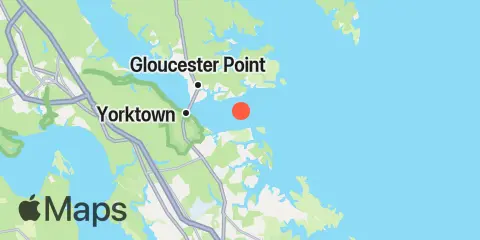
Latitude
37° 13' 48" N (37.23)
Longitude
76° 26' 12" W (-76.4367)
State
County
Nearest ZIP
23692
Nearby
Tides
2.3 mi
Yorktown USCG Training Center, York River
2.9 mi
Tue Marshes Light, York River
3.7 mi
Gloucester Point, York River
5.2 mi
Browns Bay, Mobjack Bay
9.3 mi
Cheatham Annex, York River
10.6 mi
Messick Point, Back River, Chesapeake Bay
11.1 mi
Mobjack, East River, Mobjack Bay
11.4 mi
Menchville, James River
12.1 mi
Fort Eustis (MARAD), James River
Currents
0.4 mi
South edge of channel
0.4 mi
Midchannel
0.6 mi
North edge of channel
2.0 mi
Tue Marshes Light, 0.9 n.mi. WNW of
2.9 mi
Tue Marshes Light, 0.7 n.mi. north of
3.7 mi
Gloucester Point, 150 yds. southeast of
4.0 mi
Yorktown
4.1 mi
Gloucester Point, 0.4 mile southwest of
7.1 mi
York River Ent. Channel (NW end)
7.8 mi
New Point Comfort, 2.0 n.mi. WSW of
9.0 mi
Pages Rock, 1 mile SSE of
9.6 mi
Blundering Point, 0.9 mile SSW of
9.6 mi
York Spit Light, 0.8 mile southwest of
