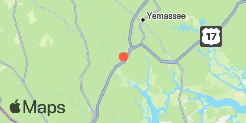
Latitude
32° 36' 6" N (32.6017)
Longitude
80° 54' 12" W (-80.9033)
State
County
Nearest ZIP
29945
Nearby
Tides
2.8 mi
North Dawson Landing, Coosawhatchie River, Broad River
6.7 mi
RR. Bridge, Hall Island, Broad River
7.1 mi
Pilot Island, West Branch Boyds Creek, Broad River
7.1 mi
Sheldon, Huspa Creek, Whale Branch, Coosaw River
9.4 mi
Lobeco, Whale Branch, Coosaw River
9.8 mi
Clarendon Plantation
11.1 mi
Bluff Plantation, Combahee River
11.9 mi
Euhaw Creek, 2.5 mi. above entrance, Broad River
Currents
9.7 mi
Little Barnwell I., E of, Whale Branch River
11.2 mi
Boyd Creek Entrance, SE of, Broad River
