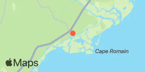
Latitude
33° 4' 42" N (33.0783)
Longitude
79° 27' 36" W (-79.46)
State
County
Nearest ZIP
29458
Nearby
Tides
4.4 mi
Casino Creek, ICWW
5.3 mi
Harbor River entrance, Bulls Bay
5.8 mi
Five Fathom Creek entrance, Bulls Bay
6.4 mi
Buck Hall, Awendaw Creek, Bulls Bay
7.5 mi
Cape Romain
8.0 mi
U.S. Highway 17 bridge, South Santee River
8.1 mi
South Santee River, ICWW (Fourmile Creek Canal)
8.9 mi
Brown Island, South Santee River
10.1 mi
North Santee Bridge
11.4 mi
Cedar Island Point, South Santee River
12.1 mi
Pleasant Hill Landing, Santee River
12.3 mi
Jack Creek entrance, Bulls Bay
Currents
11.1 mi
South Santee River entrance
