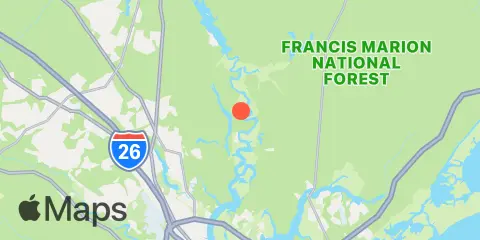
General Dynamics Pier Map
Latitude
33° 0' 30" N (33.0083)
Longitude
79° 55' 24" W (-79.9233)
State
County
Nearest ZIP
29445
Nearby
Tides
1.2 mi
Back River Reservoir, West Branch, Cooper River
3.5 mi
Dupont, Dean Hall, Cooper River
4.1 mi
Blessing Plantation, East Branch, Cooper River
4.2 mi
Snow Point, 0.4 mi. North of, Cooper River
4.8 mi
Old Rice Mill, West Branch, Cooper River
5.0 mi
Bonneau Ferry, East Branch, Cooper River
6.2 mi
Richmond Plantation, East Branch, Cooper River
6.2 mi
Pimlico, West Branch, Cooper River
6.8 mi
Yeamans Hall, Goose Creek, Cooper River
7.0 mi
Army Depot, Cooper River
7.1 mi
Clouter Creek, north entrance, Cooper River
7.6 mi
Nowell Creek, Wando River
7.8 mi
Cainhoy, Wando River
8.1 mi
Hanahan, Turkey Creek, Goose Creek, Cooper River
9.0 mi
Quinby Creek bridge, East Branch, Cooper River
9.7 mi
Parker Island, Horlbeck Creek, Wando River
10.3 mi
Clouter Creek, south entrance, Cooper River
12.1 mi
Big Paradise Island, Wando River
12.2 mi
Shipyard Creek, 0.8 mile above entrance.
Currents
1.2 mi
Moreland, 0.5 n.mi. below
1.8 mi
Hagan Island, 1 n.mi. below
2.8 mi
Back River entrance
3.4 mi
off Amoco Pier
3.8 mi
The Tee, 0.4 mile southwest of
3.9 mi
Snow Point, 0.5 mile north of
4.0 mi
The Tee
4.2 mi
East Branch, 0.2 mile above entrance
5.0 mi
Bonneau Ferry, east of
5.4 mi
Woods Point
5.7 mi
Woods Point, SE of
6.0 mi
Childsbury, S.A.L. RR. bridge
6.1 mi
Yellow House Landing, 1 mile NW of
6.9 mi
Yellow House Creek
7.3 mi
Ordnance Reach
7.9 mi
Anneville, marker 36
8.1 mi
Filbin Creek Reach, Buoy 58
8.6 mi
Filbin Creek Reach, 0.2 mile east of
8.6 mi
Filbin Creek Reach
9.4 mi
Nowell Creek entrance
9.7 mi
Horlbeck Creek, 0.2 mile above entrance
10.0 mi
Nowell Creek, Southeast of
10.2 mi
North Charleston
10.4 mi
Rathall Creek entrance
11.1 mi
Daniel Island Bend
12.1 mi
Daniel Island Reach, Buoy 47A
12.2 mi
Wando River Upper Reach, Turning Basin
12.3 mi
State Hwy. 7 bridge
12.3 mi
Shipyard Creek entrance