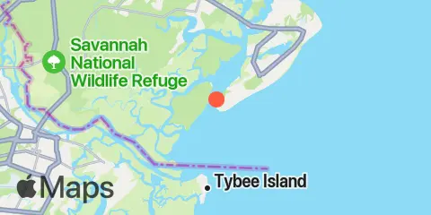
Braddock Point Map
Latitude
32° 6' 48" N (32.1133)
Longitude
80° 49' 48" W (-80.83)
State
County
Nearest ZIP
29928
Nearby
Tides
2.3 mi
Haig Point, Daufuskie Island, Cooper River
3.4 mi
Calibogue Cay, Broad Creek, Hilton Head Island
3.6 mi
Bloody Point, Daufuskie Island, New River
3.9 mi
Daufuskie Landing, Daufuskie Island, New River
3.9 mi
Bull Creek, Bull Island South, Cooper River
4.0 mi
Pine Island, Ramshorn Creek, Cooper River
4.1 mi
Hargray Pier, Daufuskie Island, New River
5.3 mi
Savage I., Savage Creek, Bull Creek
5.6 mi
Moreland Cemetery, May River
6.1 mi
Tybee Light, Savannah River
6.1 mi
Bull Island North, May River
6.2 mi
Doughboy Island, New River
6.3 mi
Fields Cut, Wright River
6.7 mi
Broad Creek, Hilton Head Island
6.8 mi
Fort Pulaski, Savannah River Entrance
7.0 mi
Brighton Beach, May River
8.3 mi
Bluffton, May River
8.3 mi
Skull Creek, south entrance, Hilton Head Island
9.1 mi
Tybee Creek entrance
9.1 mi
Good Hope Landing, south of, New River
10.5 mi
North entrance, Wilmington River
10.7 mi
Turnbridge Landing, Salt Water Creek
10.8 mi
Pinckney Island, Mackay Creek, Chechessee River
11.4 mi
Cook Landing Cemetery, New River
11.9 mi
Skull Creek, Ribaut Island
12.0 mi
Port Royal Plantation, Hilton Head Island
12.3 mi
Fort Jackson, Savannah River
12.3 mi
Halfmoon Reef, Halfmoon River
Currents
0.7 mi
Braddock Point, SW of, Calibogue Sound
2.5 mi
Haig Point Light, NW of, Cooper River
3.2 mi
Ramshorn Creek Light, E of, Cooper River
3.4 mi
Bloody Pt., 0.5 mile north of, New River
3.8 mi
Bloody Pt., 0.5 mile west of, New River
4.1 mi
Daufuskie Landing Light, south of
5.5 mi
Walls Cut, Turtle Island
5.7 mi
Wright R., 0.2 mile above Walls Cut
5.7 mi
Spanish Wells, Calibogue Sound
6.4 mi
Savannah River Entrance (between jetties)
6.8 mi
Fort Pulaski
7.6 mi
Fort Pulaski, 1.8 miles above
7.7 mi
MacKay Creek, south entrance
8.1 mi
Skull Creek, south entrance
8.4 mi
Elba Island Cut, NE of, Savannah River
9.0 mi
Fort Pulaski, 4.8 miles above
9.2 mi
Bull River, 2 miles below hwy. bridge
9.7 mi
Elba Island, NE of, Savannah River
9.7 mi
Lazaretto Creek Entrance, N of, Bull River
9.8 mi
McQueen Island Cut
10.4 mi
Wilmington R. ent., south channel
10.9 mi
Oatland Island, north tip
11.1 mi
South Channel, western end
11.2 mi
Elba Island, west of, Savannah River
11.6 mi
Skull Creek, north entrance
11.7 mi
Wilmington Island, SSE of, Bull River