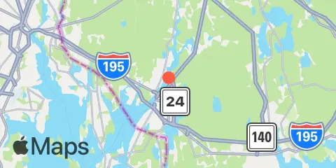
Steep Brook Map
Latitude
41° 44' 24" N (41.74)
Longitude
71° 7' 54" W (-71.1317)
State
County
Nearest ZIP
02720
Nearby
Tides
3.0 mi
Fall River, Narragansett Bay
6.1 mi
Kickamuit River, Narragansett Bay
7.3 mi
North End, Bay Oil pier, Sakonnet River
8.2 mi
Anthony Point, Sakonnet River
8.9 mi
Bristol Highlands, Narragansett Bay
9.1 mi
Bristol, Bristol Harbor, Narragansett Bay
9.2 mi
Nannaquaket Neck, Sakonnet River
9.6 mi
Bristol Ferry, Narragansett Bay
11.0 mi
Conimicut Light, Narragansett Bay
11.4 mi
Bay Spring, Bullock Cove, Narragansett Bay
12.1 mi
Hix Bridge, East Branch, Westport River
Currents
3.7 mi
Fall River entrance
5.9 mi
Mount Hope Point, northeast of
8.1 mi
Warren, Warren River
8.5 mi
Common Fence Point, west of
9.4 mi
Almy Point Bridge, south of, Sakonnet River
9.5 mi
Mount Hope Bridge
10.6 mi
Hog Island, northwest of
11.8 mi
Nayatt Point, WNW of