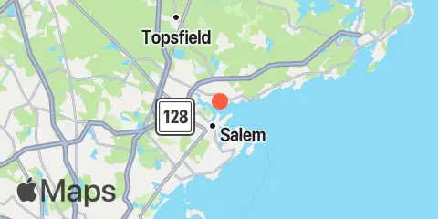
Latitude
42° 32' 24" N (42.54)
Longitude
70° 53' 12" W (-70.8867)
State
County
Nearest ZIP
01915
Nearby
Tides
1.3 mi
Salem, Salem Harbor
6.3 mi
Lynn, Lynn Harbor
8.5 mi
Essex, Essex River
Currents
1.5 mi
Fort Pickering, 0.2nm south of
2.1 mi
Haste Shoal
4.3 mi
Marblehead Channel
4.4 mi
Little Misery Island
6.6 mi
Lynn Harbor
7.3 mi
Sand Point, Black Marsh Channel
7.4 mi
Nahant, 1.8 n.mi. NE of East Point
7.7 mi
Point of Pines, 0.1 n.mi. northeast of
8.1 mi
Little Nahant Cupola, 0.6 n.mi. west of
8.3 mi
Nahant, 0.4 n.mi. east of East Point
8.3 mi
Point of Pines, 0.5 n.mi. south of
9.0 mi
Pea Island, 0.4 n.mi. southeast of
9.7 mi
Bass Point, 1.2 n.mi. southeast of
10.0 mi
Nahant, 1 n.mi. SE of East Point
11.2 mi
Gloucester Harbor entrance
11.7 mi
Northeast Grave
11.9 mi
Blynman Canal ent., Gloucester Harbor
11.9 mi
Finn's Ledge Bell, 0.2 n.mi. west of
12.4 mi
Winthrop Head, 1.1 n.mi. east of
