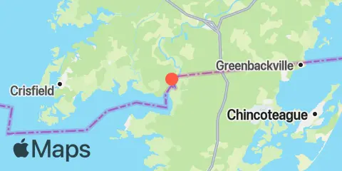
Latitude
37° 58' 48" N (37.98)
Longitude
75° 38' 18" W (-75.6383)
State
County
Nearest ZIP
21838
Nearby
Tides
6.4 mi
Saxis, Starling Creek, Pocomoke Sound, Chesapeake Bay
8.9 mi
Muddy Creek Entrance, Chesapeake Bay
9.6 mi
Guard Shore, Chesapeake Bay
10.1 mi
Ape Hole Creek, Pocomoke Sound, Chesapeake Bay
10.2 mi
Colburn Creek, Big Annemessex River, Chesapeake Bay
10.4 mi
Long Point, Big Annemessex River, Chesapeake Bay
10.5 mi
Wishart Point, Bogues Bay
12.3 mi
Crisfield, Little Annemessex River, Chesapeake Bay
Currents
0.7 mi
Pocomoke R., 0.5 mile below Shelltown
9.8 mi
Long Point, 2.0 n.mi. northeast of
