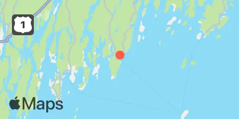
Latitude
43° 52' 30" N (43.875)
Longitude
69° 29' 30" W (-69.4917)
State
County
Nearest ZIP
04554
Nearby
Tides
1.7 mi
Pemaquid Harbor, Johns Bay
4.6 mi
East Boothbay, Damariscotta River
6.0 mi
Walpole, Damariscotta River
6.8 mi
Muscongus Harbor, Muscongus Sound
7.0 mi
Boothbay Harbor
8.7 mi
Southport, Townsend Gut
9.5 mi
Cross River entrance, Sheepscot River
9.8 mi
Isle of Springs, Sheepscot River
9.8 mi
Burnt Island, Georges Islands
9.9 mi
Friendship Harbor
10.1 mi
Damariscove Harbor, Damariscove Island
11.1 mi
Back River, Sheepscot River
11.2 mi
Jones Neck, Medomak River
11.2 mi
Newcastle, Damariscotta River
11.4 mi
Monhegan Island
12.1 mi
Port Clyde, St. George River
12.1 mi
Robinhood, Sasanoa River, Sheepscot River
12.3 mi
Wiscasset, Sheepscot River
Currents
4.6 mi
Damariscotta River, off Cavis Point
10.1 mi
Sheepscot River, off Barter Island
11.6 mi
Lowe Point, NE of, Sasanoa River
11.9 mi
Lower Hell Gate, Knubble Bay
