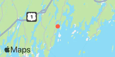
Latitude
43° 58' 0" N (43.9667)
Longitude
69° 26' 30" W (-69.4417)
State
County
Nearest ZIP
04564
Nearby
Tides
4.5 mi
Jones Neck, Medomak River
5.0 mi
Friendship Harbor
6.6 mi
Newcastle, Damariscotta River
6.8 mi
New Harbor, Muscongus Bay
7.3 mi
Walpole, Damariscotta River
7.5 mi
Pemaquid Harbor, Johns Bay
9.3 mi
Waldoboro, Medomak River
9.5 mi
Port Clyde, St. George River
9.8 mi
Burnt Island, Georges Islands
10.0 mi
East Boothbay, Damariscotta River
10.3 mi
Otis Cove, St. George River
10.5 mi
Sheepscot (below rapids), Sheepscot River
11.2 mi
Tenants Harbor
11.4 mi
Wiscasset, Sheepscot River
11.7 mi
Cross River entrance, Sheepscot River
12.0 mi
Back River, Sheepscot River
12.3 mi
Boothbay Harbor
Currents
9.5 mi
Damariscotta River, off Cavis Point
