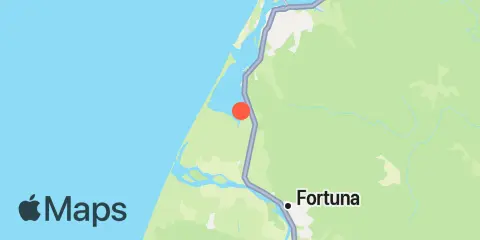
Hookton Slough Map
Latitude
40° 41' 12" N (40.6867)
Longitude
124° 13' 19" W (-124.222)
State
County
Nearest ZIP
95551
Nearby
Tides
2.5 mi
Fields Landing, Humboldt Bay
4.7 mi
Cockrobin Island Bridge, Eel River, San Francisco
5.1 mi
Elk River Railroad Bridge, Humboldt Bay
5.5 mi
North Spit, Humboldt Bay
6.5 mi
Bucksport, Humboldt Bay
8.8 mi
Eureka, Humboldt Bay
9.3 mi
Eureka Slough Bridge, Humboldt Bay
9.9 mi
Samoa, Humboldt Bay
Currents
4.0 mi
Hookton Channel Day Marker 3
4.2 mi
South Spit, 0.1 n.mi. E of
4.9 mi
Humboldt Bay Entrance Channel LB 9
5.0 mi
Humboldt Bay Entr., 0.1nm NE of South Spit Light
5.5 mi
Humboldt Bay Entrance Channel
5.8 mi
Humboldy Bay Bar Channel, 0.4 nm WNW of
6.4 mi
North Bay Channel, Chevron Pier
7.1 mi
North Bay Channel at Fairhaven
7.1 mi
North Bay Channel, west of Eureka
7.8 mi
North Bay Channel at Samoa Channel