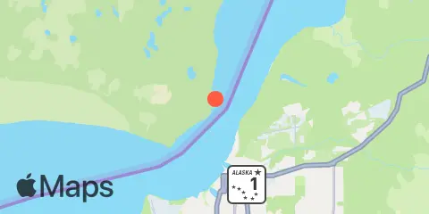
Latitude
61° 16' 6" N (61.2683)
Longitude
149° 55' 1" W (-149.91701)
State
County
Nearest ZIP
99654
Nearby
Tides
2.3 mi
Anchorage, Knik Arm, Cook Inlet
9.0 mi
Goose Creek, Knik Arm, Cook Inlet
11.8 mi
Fire Island, Cook Inlet
Currents
0.0 mi
Port Mackenzie
0.5 mi
Cairn Point, northwest of (east side)
0.8 mi
Cairn Point, northwest of (west side)
1.0 mi
Knik Arm, NW of Anchorage
1.1 mi
Port Mackenzie, south of
1.2 mi
Knik Arm, east side
1.6 mi
Anchorage Shipdock, northwest of
3.0 mi
Anchorage, west of
3.0 mi
Anchorage, 0.2 mile offshore
4.2 mi
Point Woronzof, 1.2nm NE of
6.0 mi
Knik Arm Mud Flats, south of
6.4 mi
Point Woronzof, west of
7.4 mi
Point Woronzof, southwest of
9.3 mi
Fire Island, 1.0nm east of
10.1 mi
Fire Island, 1.0nm north of
11.1 mi
Fire Island, 0.8nm north of
