Cruz Pass Weekly Tide Tables and Charts
Tide Chart for Next 7 Days
Cruz Pass weekly tide chart key:
The tide chart above shows the times and heights of high tide and low tide for Cruz Pass, for the next seven days. The red line highlights the current time and estimated height.The tidal range at Cruz Pass for the next seven days is approximately 15.04 ft with a minimum tide of -2.85 ft and maximum tide of 12.19 ft. You can also check out all the daily details on tides & fishing times on the Day tab for Cruz Pass.
Tide Table for Next 7 Days
▲ Blue = High Tide
▼ Red = Low Tide
| Day | 1st Tide | 2nd Tide | 3rd Tide | 4th Tide | ☀ Sun |
Major Solunars
|
Minor Solunars
|
|
|---|---|---|---|---|---|---|---|---|
| 22 Tue |
|
▼ 4.44 ft |
▲ 7.84 ft |
▼ 0.78 ft |
▲ 7.95 ft |
▲ 5:31 AM ▼ 8:14 PM |
8:33 AM → 10:33 AM 8:48 PM → 10:48 PM |
4:17 AM → 5:17 AM 1:11 PM → 2:11 PM |
| 23 Wed |
|
▼ 3.3 ft |
▲ 8.1 ft |
▼ 0.56 ft |
▲ 8.86 ft |
▲ 5:28 AM ▼ 8:16 PM |
9:22 AM → 11:22 AM 9:37 PM → 11:37 PM |
4:26 AM → 5:26 AM 2:41 PM → 3:41 PM |
| 24 Thu |
|
▼ 1.84 ft |
▲ 8.6 ft |
▼ 0.45 ft |
▲ 9.85 ft |
▲ 5:26 AM ▼ 8:18 PM |
10:11 AM → 12:11 PM 10:26 PM → 12:26 AM |
4:33 AM → 5:33 AM 4:13 PM → 5:13 PM |
| 25 Fri |
|
▼ 0.3 ft |
▲ 9.14 ft |
▼ 0.52 ft |
▲ 10.79 ft |
▲ 5:24 AM ▼ 8:20 PM |
11:01 AM → 1:01 PM 11:17 PM → 1:17 AM |
4:40 AM → 5:40 AM 5:48 PM → 6:48 PM |
| 26 Sat |
|
▼ -1.11 ft |
▲ 9.56 ft |
▼ 0.78 ft |
▲ 5:21 AM ▼ 8:22 PM | 11:52 AM → 1:52 PM |
4:47 AM → 5:47 AM 7:28 PM → 8:28 PM |
|
| 27 Sun |
|
▲ 11.56 ft |
▼ -2.21 ft |
▲ 9.79 ft |
▼ 1.2 ft |
▲ 5:19 AM ▼ 8:24 PM |
12:12 AM → 2:12 AM 12:47 PM → 2:47 PM |
4:56 AM → 5:56 AM 9:11 PM → 10:11 PM |
| 28 Mon |
|
▲ 12.06 ft |
▼ -2.85 ft |
▲ 9.78 ft |
▼ 1.74 ft |
▲ 5:17 AM ▼ 8:26 PM |
1:10 AM → 3:10 AM 1:47 PM → 3:47 PM |
5:10 AM → 6:10 AM 10:55 PM → 11:55 PM |
Buoy Weather
Air Temperature
41.2° F
Wind
1.9 knots SW (220°)
Wind Gust
8 knots
Atmospheric Pressure
30.2 in
Note: Observations are from a weather buoy 8.43 miles from the prediction site. Observations are not available at all prediction sites, and observation types vary between sites.
More details: Station crga2 Buoy Weather
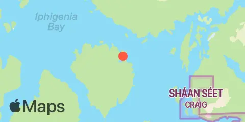
Location & Map
Latitude
55° 32' 30" N (55.5417)
Longitude
133° 18' 54" W (-133.315)
State
Nearest ZIP
99921
Nearby
Tides
7.7 mi
Craig, Klawock Inlet, Bucareli Bay
Currents
1.6 mi
San Christoval Rock
3.3 mi
San Christoval Chanel, Larz Lt., 0.25nm N of
5.5 mi
Portillo Channel
5.8 mi
Klawock Narrows, north of Fish Egg Island
7.6 mi
Craig Cannery
9.5 mi
Coronados Islands, 2 miles west of
9.7 mi
Saint Nicholas Channel, north
10.8 mi
Toti Island, 1.1 miles west of
12.1 mi
Cape Flores, 1 mile north of
Note: Tide predictions are an estimate and NOT FOR NAVIGATION.
We also offer free widgets if you want to add tide or solunar tables to your own site.